
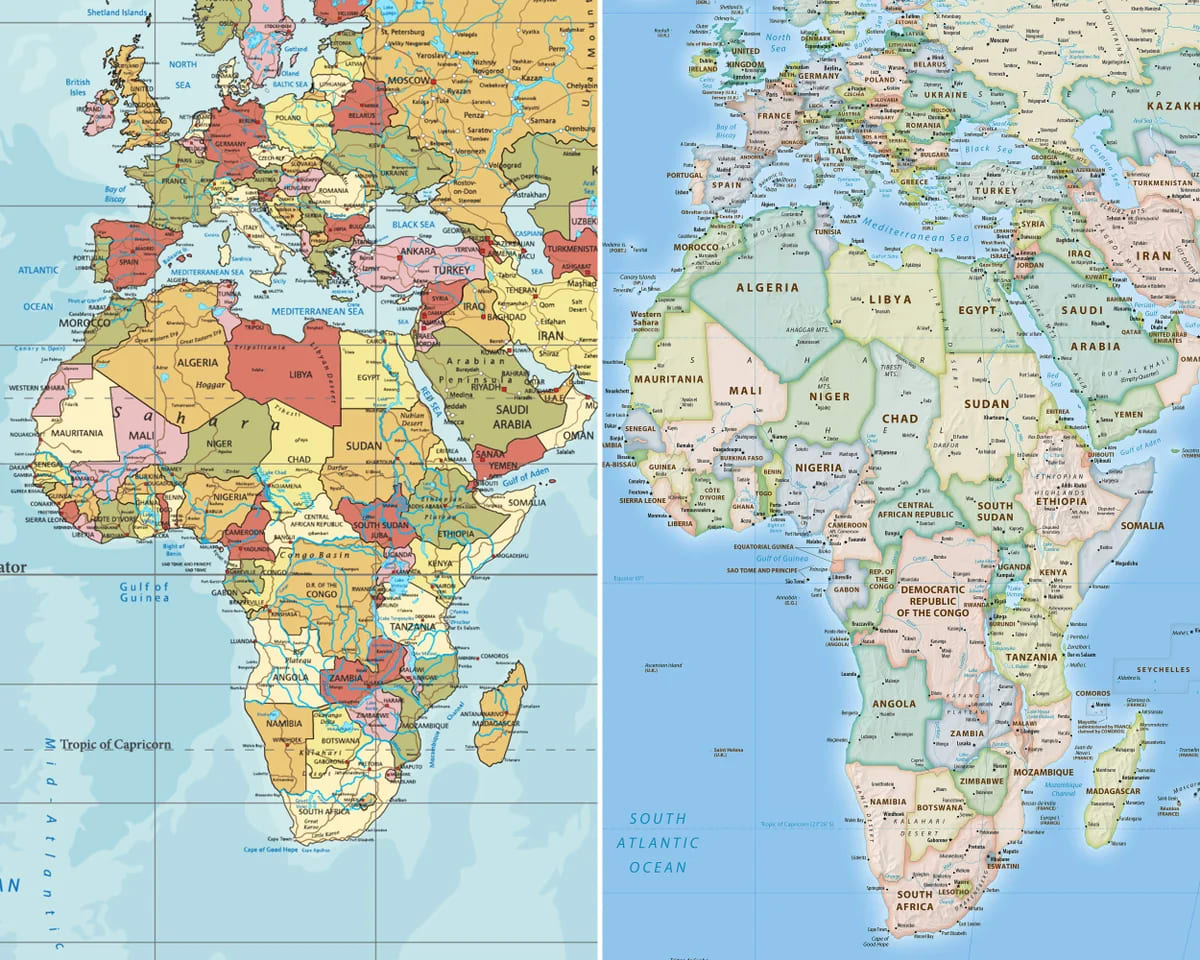
Recent discussions surrounding a new world map have ignited interest in cartography and how geographical representations can influence perceptions. The updated map features a significantly larger depiction of Africa, prompting questions about the reasons and implications behind this change.
The Mercator Projection and Its Limitations
Historically, most world maps have utilized the Mercator projection, developed by Gerardus Mercator in 1569. This method was designed to aid in maritime navigation, allowing sailors to plot straight-line courses. However, it distorts the size and shape of landmasses, particularly near the poles.
As a result, countries located closer to the equator, such as those in Africa, appear smaller than they actually are. For instance, Greenland, which is depicted as significantly larger than it is, often overshadows the true size of African nations.
The New World Map: Shifting Perspectives
The recent map in question employs a different projection system that addresses these distortions. By utilizing a more equitable representation of landmasses, Africa's true size is highlighted, showcasing it as the continent it is—vast and diverse.
This change serves not only to correct a longstanding geographical misconception but also to challenge the Eurocentric narratives often perpetuated by traditional maps.
Implications of the Change
The updated representation of Africa on world maps has broader implications beyond mere aesthetics. It reflects a growing recognition of the continent's significance in global affairs, economics, and culture.
Geopolitical Awareness: By accurately portraying Africa's size, the map fosters awareness of the continent's geopolitical importance and its growing influence in international relations.
Cultural Representation: Acknowledging Africa's true size allows for a better understanding of its diverse cultures, languages, and histories, which are often minimized in traditional representations.
Educational Impact: The new map can serve as a valuable educational tool, helping students and the general public to grasp a more realistic view of global geography.
Inference
The updated world map that emphasizes Africa's actual size is more than just a cartographical update; it is a statement of recognition and respect for the continent's vastness and significance. As discussions about representation continue to evolve, the importance of accurate mapping will remain crucial in shaping our understanding of the world.
Comments (0)
Be the first to comment!